
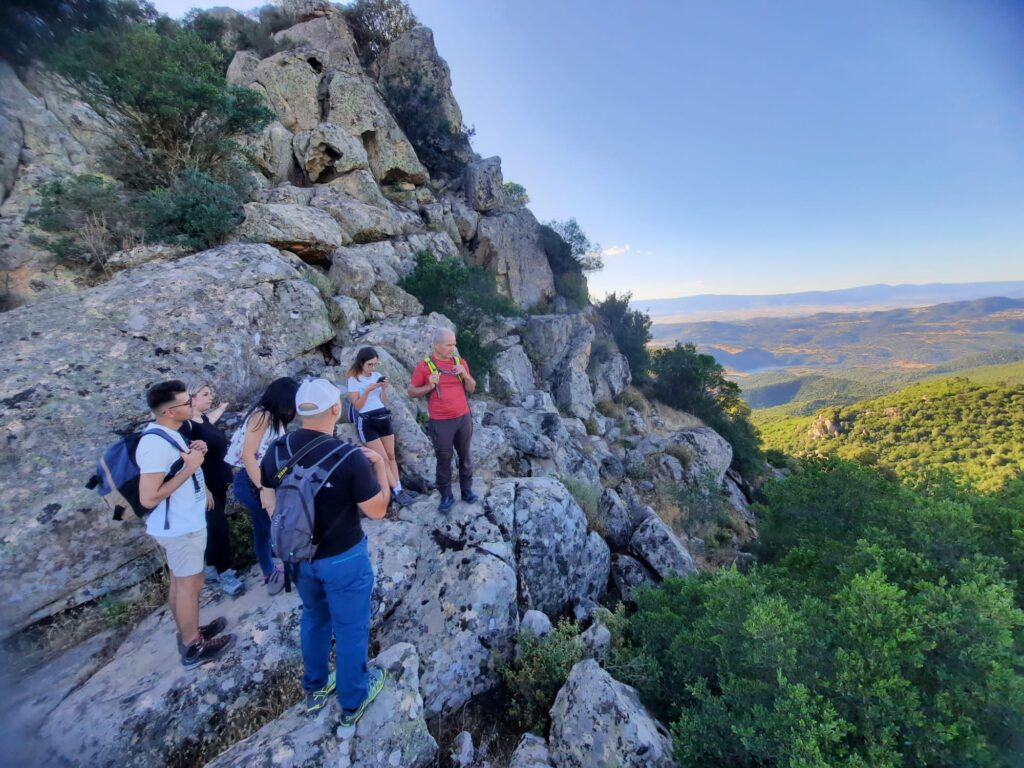
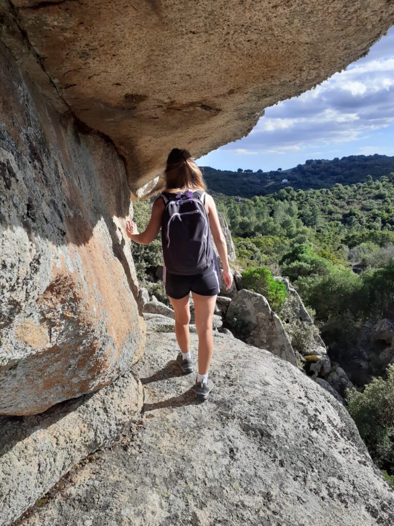
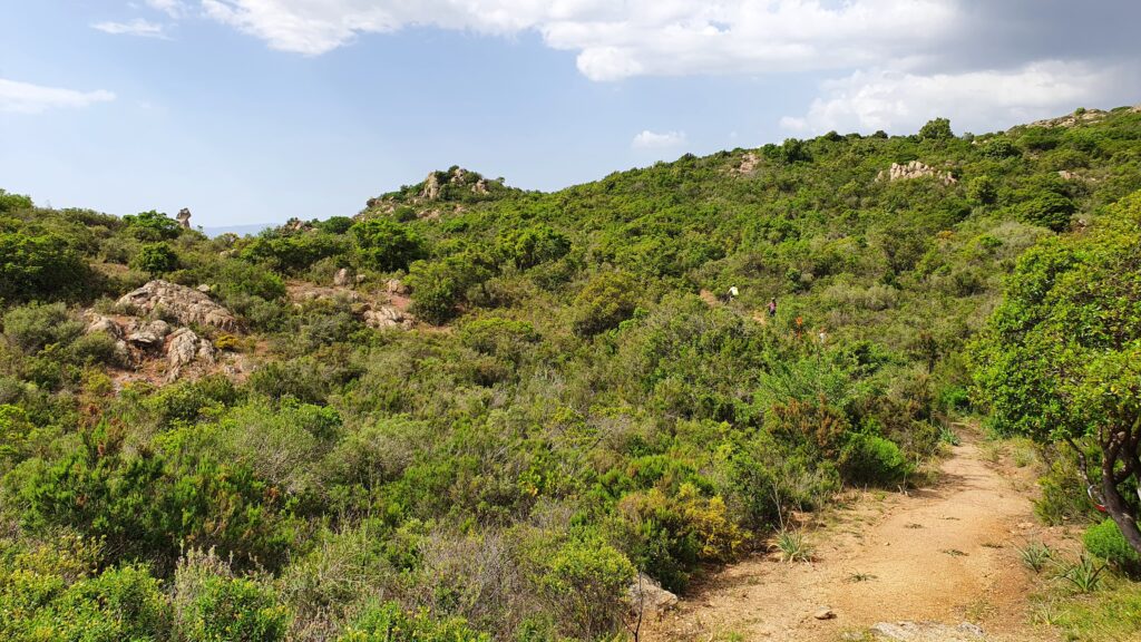
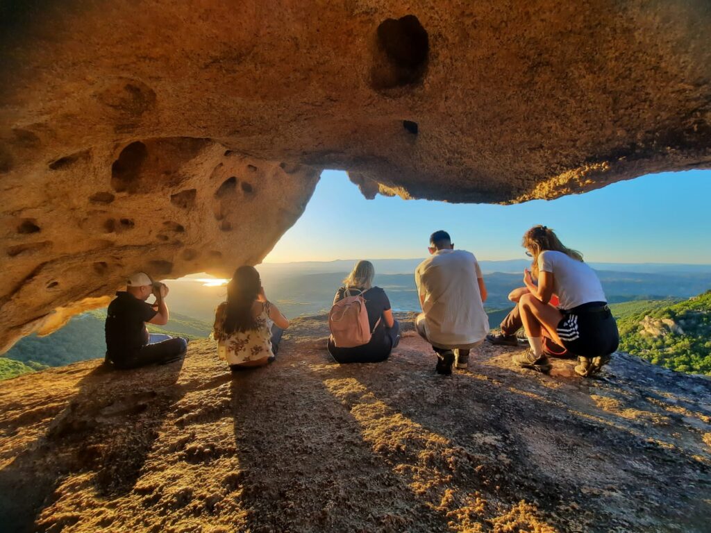
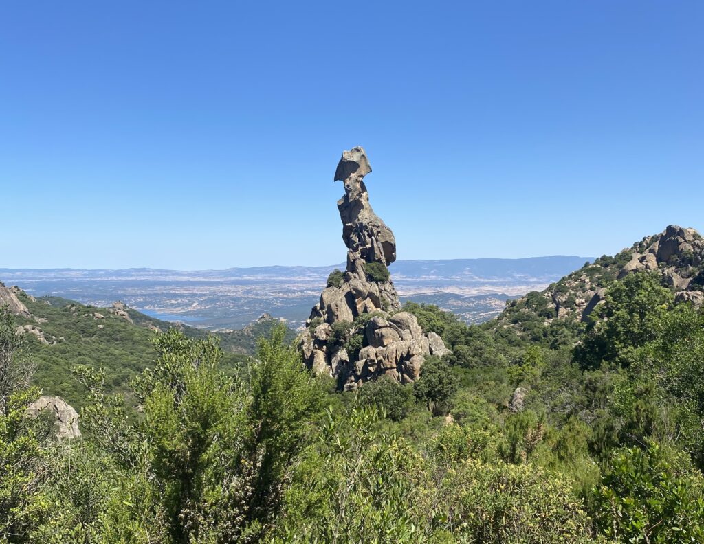
The natural landscape and the countryside of Austis are surprisingly green and offer hikers numerous points of view and glimpses that are very different from each other, drawn by the vegetation and by the monumental emergence of granite rock. On one side the highest peaks of Sardinia, on the other the green valley from which Lake Omodeo (the largest lake on the island) peeks out, a site of community interest for its great landscape and environmental value. All around paths more or less beaten by hiking, trekking, climbing and MTB enthusiasts but not only.
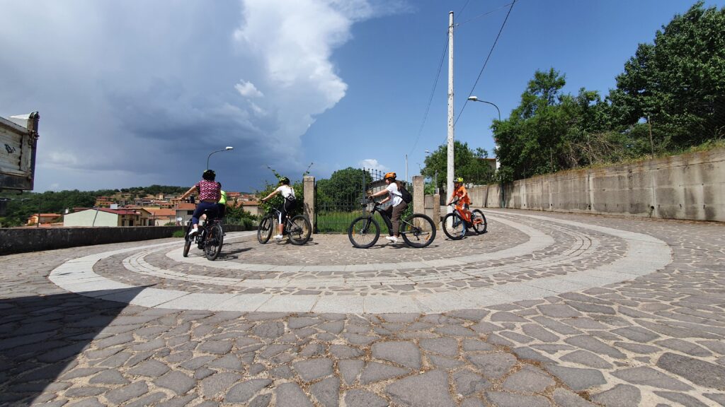
MTB | Ring Austis – Pasa Procu – Sa Perdarba – Sa Pranedda- Borta Melone – Austis
Download GPS track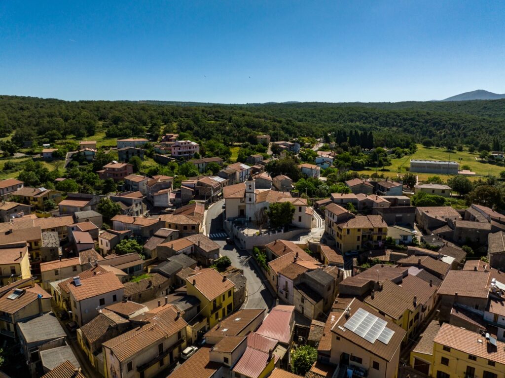
GPS track provided by Bike Experience
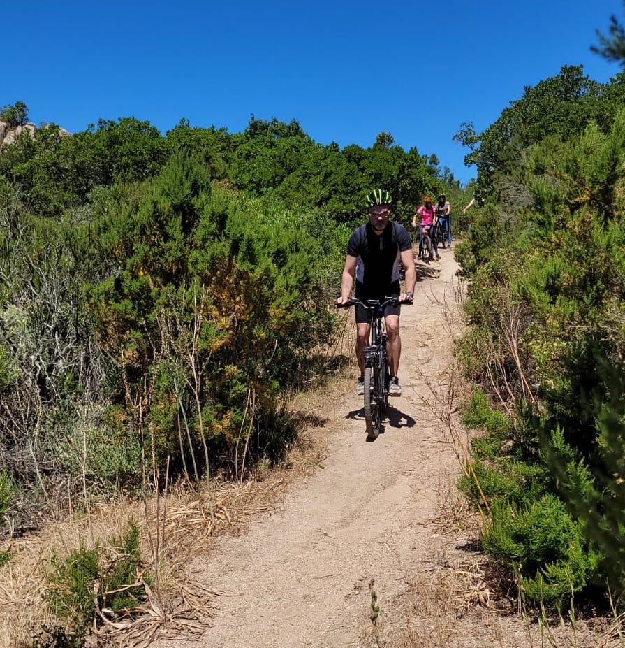
GPS track provided by Bike Experience
GPS track provided by Sardegna Sentieri, photo by S. Piras
Come visit
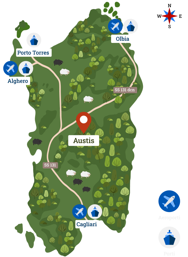
Austis is located in the center of Sardinia about 90 minutes from the main airports and ports of the island.
The village is immersed in a beautiful area, where history is combined with archaic legends. Discover our traditions, genuine flavours, traditional clothes and our most beautiful monuments.
Come to Austis, natural Sardinia